Maps and Charts
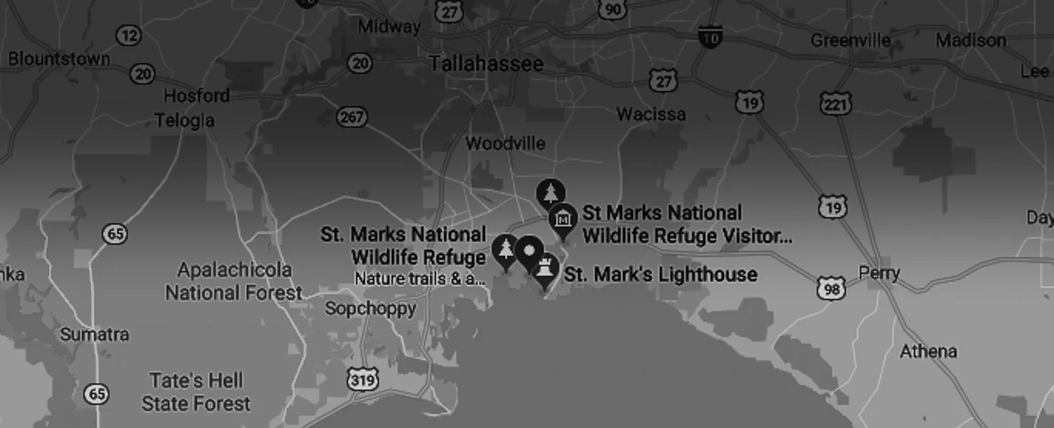
The Refuge's Visitor Center and administrative office is located about 25 miles south of Tallahassee, FL. From Tallahassee, take SR 363 (Woodville Hwy) toward Wakulla. Turn left (east) on SR 267 (Bloxham Cutoff). At US 98 (Coastal Hwy), turn left (east) and cross the St. Marks River. Turn right on Lighthouse Road (CR 59) and drive 3 miles to the Visitor Center/Office.
[GPS: 30° 9.097' N 84° 8.845' W]
Map of the St. Marks Unit showing Lighthouse Road
The interactive map below was created using this map of the St. Marks unit from USFWS.
